 Feeling adventurous? If you have perused the local waters for awhile you might be ready to venture further than you can get in a few hours. An earlier course this year covered local short trips. This course introduced us to some of the many options for longer trips. Unfortunately, I was ill on this evening and unable to attend. Fortunately, AMIB member Greg Martin was there and sent me some notes that I'll summarize here.
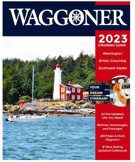
Prepare your boat and your route A longer voyage comes with risks that you can only mitigate with proper preparation. The sea may be calm on the day you leave, but weather can change, the sea can quickly change from friend to ... less hospitable friend. Make sure your boat is shipshape, and plan your route in detail. Boat prep: is your engine maintenance up to date. Check it over and manage any concerns before you leave. Similarly, with sailboats, be confident the sails won't be a concern mid-voyage. Also check your electronics and electrical system. Route prep: Plan ahead for way points along your route. Where are the safe harbours? Understand the currents and tide schedules and plan your departure times and estimate distances you expect to cover each day. Be able to answer questions like these: will you always anchor? will you travel from marina to marina? will you sleep aboard or camp ashore? Plan for changes in the weather too! On Board prep: check your toolbox to ensure you have the tools for your boat. Check your safety gear (here is a useful link to determine what is required in Canada for various types of craft). Pack provisions (food / water) with extra in case of stays longer than you anticipate. Resources: educate yourself and be more prepared. Firstly, how knowledgable are the people you are travelling with? They may be a great resource to help in a tricky situation. Also you could explore the weather history for unfamiliar territory you'll visit to help anticipate risks. You can also download apps with useful marine information (e.g., Tides, C-Map, MarineTraffic, Windy). Lastly the Wagonner Cruising Guide
0 Comments
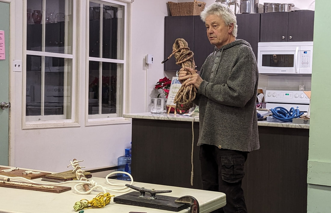 Instructor Blair Smith led this hands-on course at the church house on Feb 7, 2024 covering a selection of the most useful ways to tie string or rope for securing, towing, and more. This was my first instruction on this topic. Though I have watched videos about knots, having the opportunity to first see the knots tied, then immediately replicate them in front of an expert made learning so much easier! Course notes (Jan 31/24): Hotspots near Mayne Island for kayakers, paddleboarders, and boaters2/6/2024 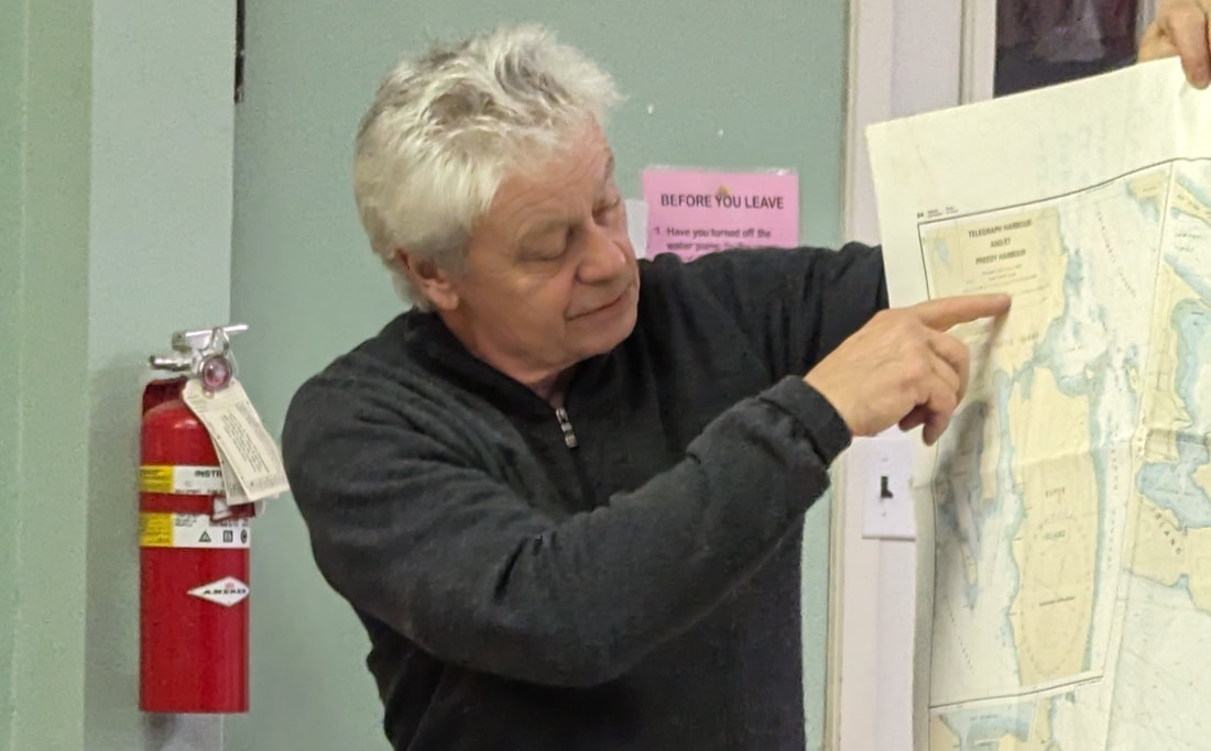 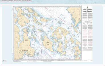 On January 31st at the Mayne Island church house, instructor Blair Smith led the first AMIB course for 2024. He began with a short introduction to charting, to help the 14 "students" in attendance to learn how to navigate to some of the hotspot around and near to Mayne Island. Blair's familiarity with the Gulf Islands, boating expertise, and sense of humour ensured an informative two hours for those in attendance new to boating (like myself) and those with years of experience. Charting 101 was an unexpected appetizer before the main "course" I didn't know what to expect from my first boating course. I don't even own a boat ... yet. However, I intend to start kayaking with my wife this season so joining AMIB and attending some courses seemed prudent. And this course was billed as an intro to some of the best places to go near Mayne, a no-brainer place to start I thought. I did not expect that we would learn a bit about how to read a chart, and I had no idea how invaluable this part of the evening would be. Charting was supposed to be the entirety of the first course (originally scheduled for Jan 17th). However, that had been cancelled due to the weather. Blair decided to begin the Jan 31 class with some charting basics. Blair prepared the room by laying out charts for Juan de Fuca Strait on each of the tables in the room. I'm not sure where most boaters get paper charts, but I did find the main one that we used online at this link. He told about some of the most important features of the chart. For example, in the section on the far right, you will learn what units are used for the depth and height measurements (our charts were in metres). Also, along the top and bottom you'll find longitudes (which are a bit closer together at the top than at the bottom. Along the sides are latitudes, which measure precise nautical miles for each minute of latitude. We were given small nautical dividers that we could open to the correct width for a nautical mile, using the side markings on the chart, then easily estimate distances from one point of the map to another point. Suddenly determining how far I travelled in a given day kayaking is super easy! Mayne Island is surrounded by hotspots Of course, the best part about having a chart is planning where you'll go next. We went around the room, each person saying where they would like to go on their next outing. Responses varied, but the general consensus was that there is a lot of great sights all around the coast of Mayne Island and within a few hours on a Kayak or paddleboard. The more adventurous in attendance suggested the American Islands, or northern Galiano, or even spots around Vancouver Island. Blair had good suggestions for all of these places, though for longer distance hotspots, we'll have to wait for an upcoming course exclusively on that topic. I'll mention a few points that were raised during the discussion. Here are some of the key places Blair discussed. 1. From Village Bay: a quick jaunt past Enterprise Pt. over to Provost to explore the coastline. You should be able to circumnavigate the island in about seven hours. Don't forget to stop at James Bay (there are washrooms there!). - you can also quite easily get to Galiano either directly if the current isn't to challenging, or via Prevost first, then to Galiano. Montague Harbour is an especially popular location. 2. Piggot Bay / Gallagher Bay: These two bays are very close to each other. I regularly visit both on weekly walks and was not aware that one is preferred over the other. The consensus in the room is that Gallagher Bay is easier to launch a kayak since at low tide, you have to walk a long way at Piggot to reach the water. From either location though, you can easily access North Pender, and explore the coast line in either direction, either going to Hope Bay or head in the other direction toward the Port Washington. - alternatively, you can stay close to Mayne and travel to Horton Bay and the small islands on that side of the island. 3. Horton Bay / Bennett Bay / Campbell Bay: these are three great spots, especially for people like me just starting out. The waters are usually quite calm, the currents gentle, and the views spectacular. Anyone looking to hone their skills would be well served here. The more adventurous can easily launch on a glorious day trip from these bays towards Saturna Island, the Belle Chain Islands, and more. There is so much to explore and I can't wait to get started on my first excusion. Key considerations before heading out: Anyone going out on the ocean should do so prepared for any of the hazards they might encounter. These include weather, currents, and other marine craft. You can access most of the information on your phone. Weather apps are an obvious consideration. There are also marine craft apps for larger vessels (like the Marine Traffic Vessel Finder) and the ferry schedules if you are considering Active Pass or anything near one of their terminals. The 2024 Tides and Current guide is available online. You could also consult the Current Atlas which is also available online. I have no idea how to use either of those resources at the moment and am hoping a future course will be offered to help with that. Blair also brought a selection of books that he thought we might find useful for future adventures. You can find these online and possibly at second hand bookstores if you are lucky. 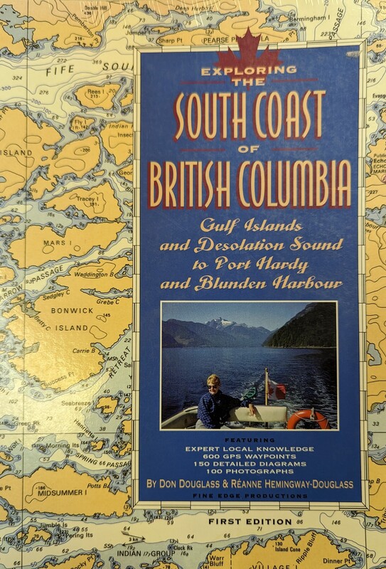 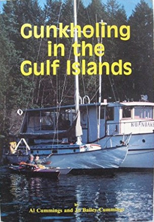 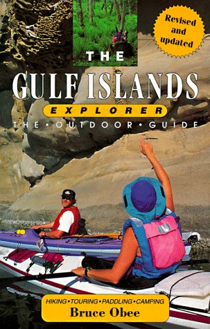 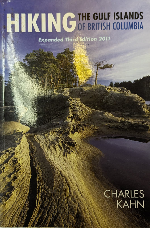 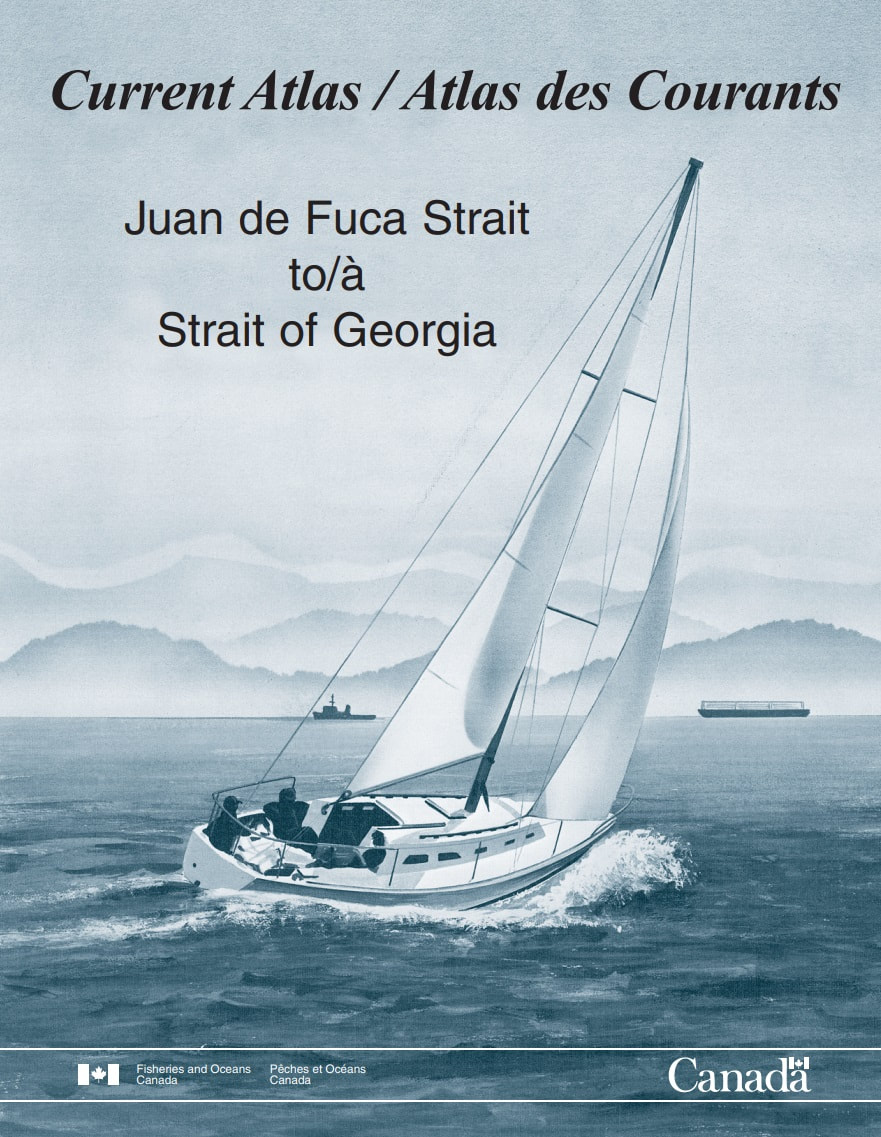 |
|
QUICK LINKS
|
CHECKLISTS
|
REGULATIONS
|
AMIB
Contact Us |
Association of Mayne Island Boaters
Webmaster: Martin Renaud - [email protected]
Last updated: Feb 6, 2024
Webmaster: Martin Renaud - [email protected]
Last updated: Feb 6, 2024